We collect all recreation-related conservation information worldwide and create a global dataset (open data) containing all information on protected assets.
We support all stakeholders in using this data.
Digitize the Planet
News

Welcome Swiss Parks Network
With Swiss Parks Network we have gained a strong partner in the international protected area landscape.

Luxembourg is the first European country to join our association!
Major milestone in digital nature conservation: Luxembourg becomes an official member of Digitzse the Planet!
Digitize the Planet connects protected areas and outdoor platforms, ensuring that nature conservation information relevant to recreational activities is standardized, clear, and easily accessible in digital form – for improved nature and species protection.
Digitize the Planet
Profit
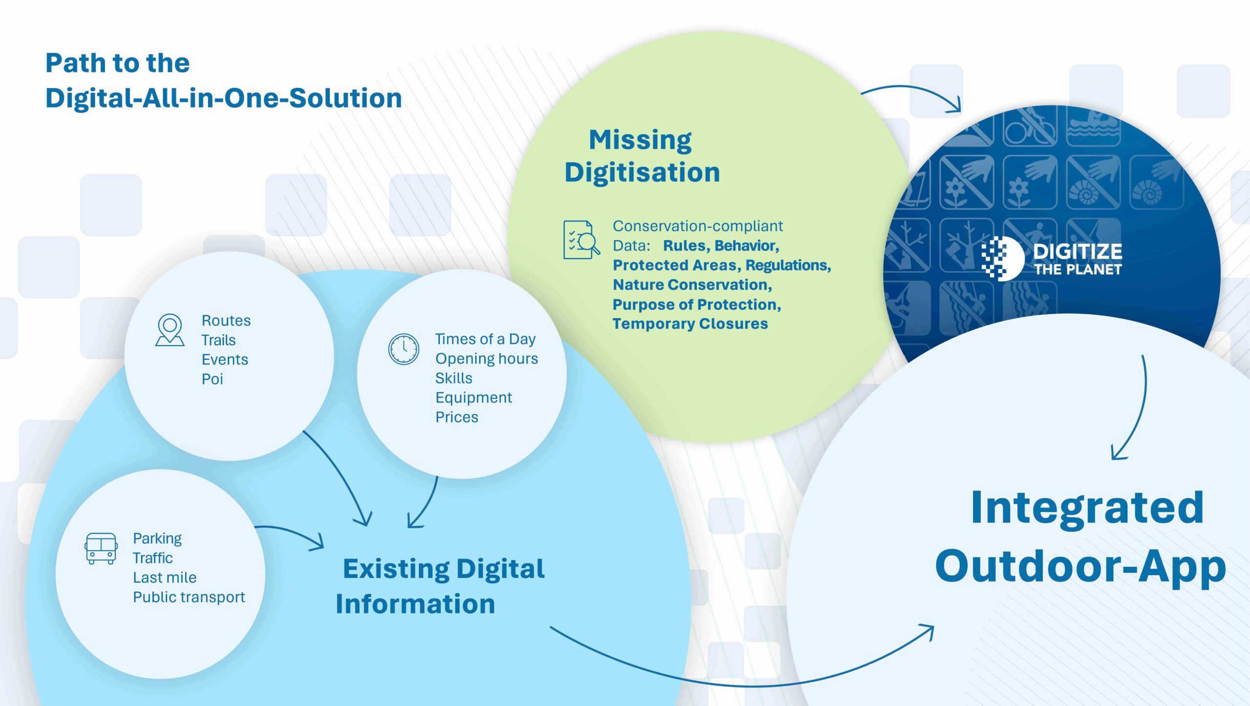
On the path to a digital all-in-one solution, we are laying the foundation for nature conservation-compliant activity management by making the missing conservation data on rules, agreements, conservation purposes, closures, and more digitally accessible.
Digitize the Planet
Our part


