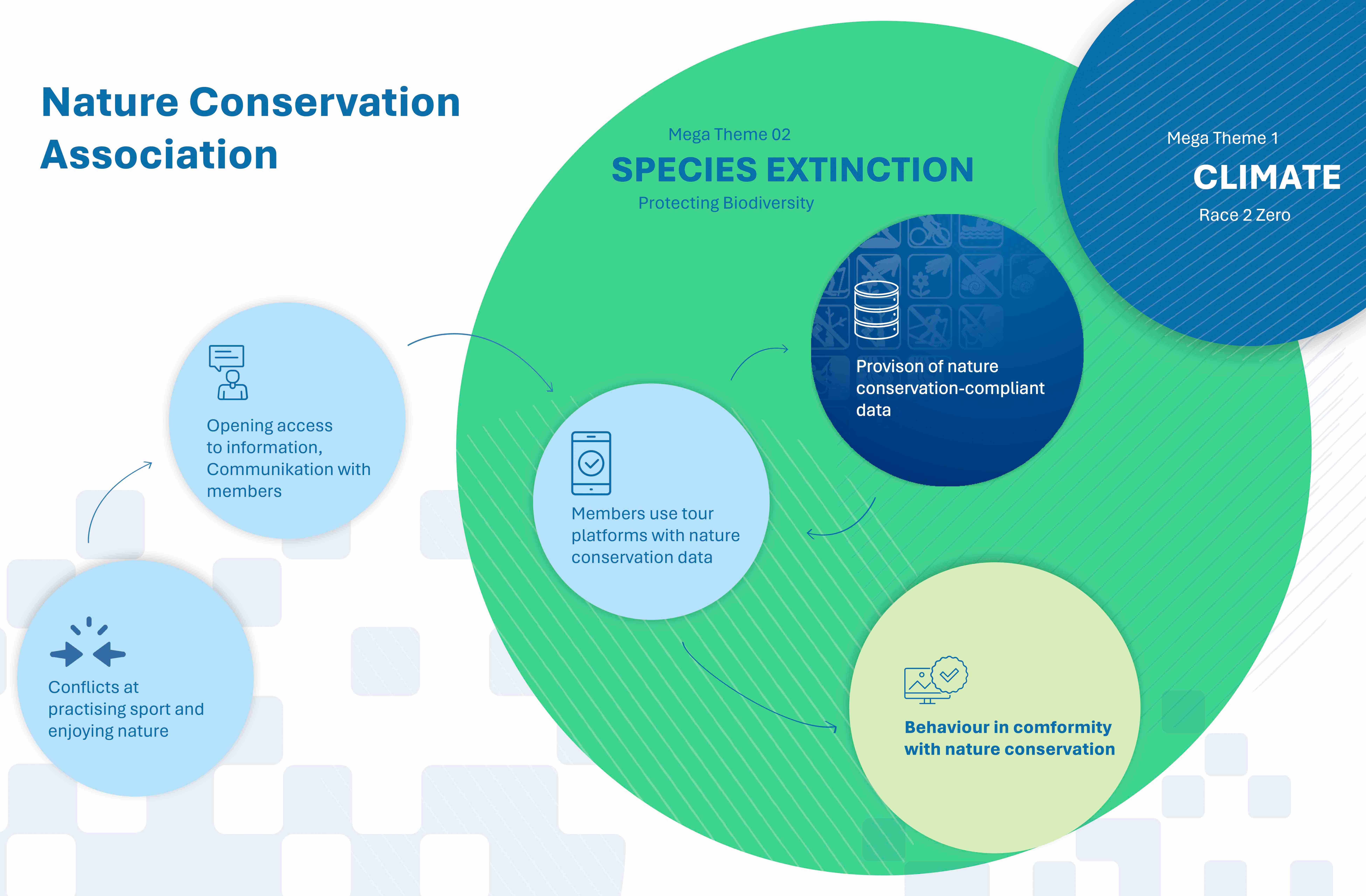
We create the digital basis for nature conservation-compliant activity management.

Digital and freely accessible information on rules and protection purposes significantly reduces the pressure on protected areas. Digitize the Planet supports protected area administrations in the digital processing of protected area boundaries, their rules and protection purposes.
This enables digital and timely activity management right from the digital planning stage at home via tour platforms.
Digitize the Planet provides the link via interfaces (API) to tour portals, map applications and other playout channels.
This allows the data to be redistributed as open data. The use of this data is free of charge.
In order to encourage nature lovers to practice their activity in a nature conservation-compliant manner, the associations can inform their members that there are outdoor platforms that contain the official nature conservation data.
This leads to greater acceptance of the sport.
Digitize can make a contribution to your own data management and help you to prepare your own information in a professional and usable way.
Important digital communication is facilitated and communication tools such as pictograms, maps, images and texts can be adopted.
Your association can also benefit from our network of politicians, authorities, protected areas, tourism, sports and nature conservation associations, etc. and our expertise in the field of digitalization and activity management in nature and the landscape.
