
Navigation :
the process or activity of accurately ascertaining one’s position and planning and following a route.
Digital visitor guidance for tour planning
Smartphone apps and services for navigation, tracking, and tour planning form the basis for cyclists, mountain bikers, hikers, and other nature enthusiasts to plan tours, choose routes and make decisions on the road.
Digitize the Planet provides open data and interfaces to rules in protected areas. These are designed for easy integration into the route planning of tour portals and platforms. The integration actively supports digital visitor guidance and conservation.
Data entry, protected areas information, sharing rules and regulations – Digitize the Planet is a place where anyone can get involved.
As a member, you show your active commitment to the association.
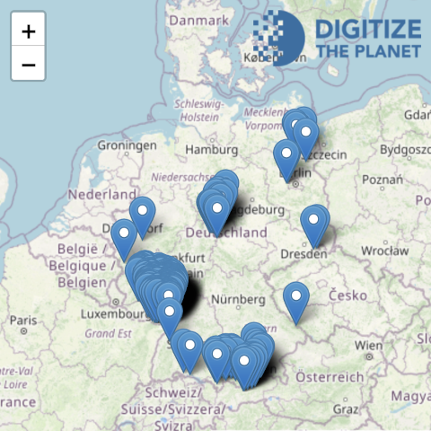
Online prototype
In the technical prototype, numerous protected areas and their rules have already been recorded by Digitize the Planet and their partners in the pilot and evaluation phase. These are available for preview and structured download in the online application of the prototype.
Contact us and together we will develop the standards for a successful exchange of rules with your platform.